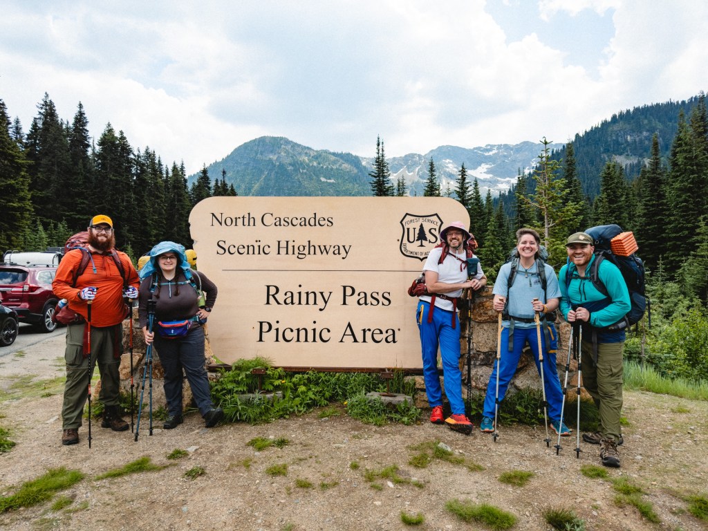
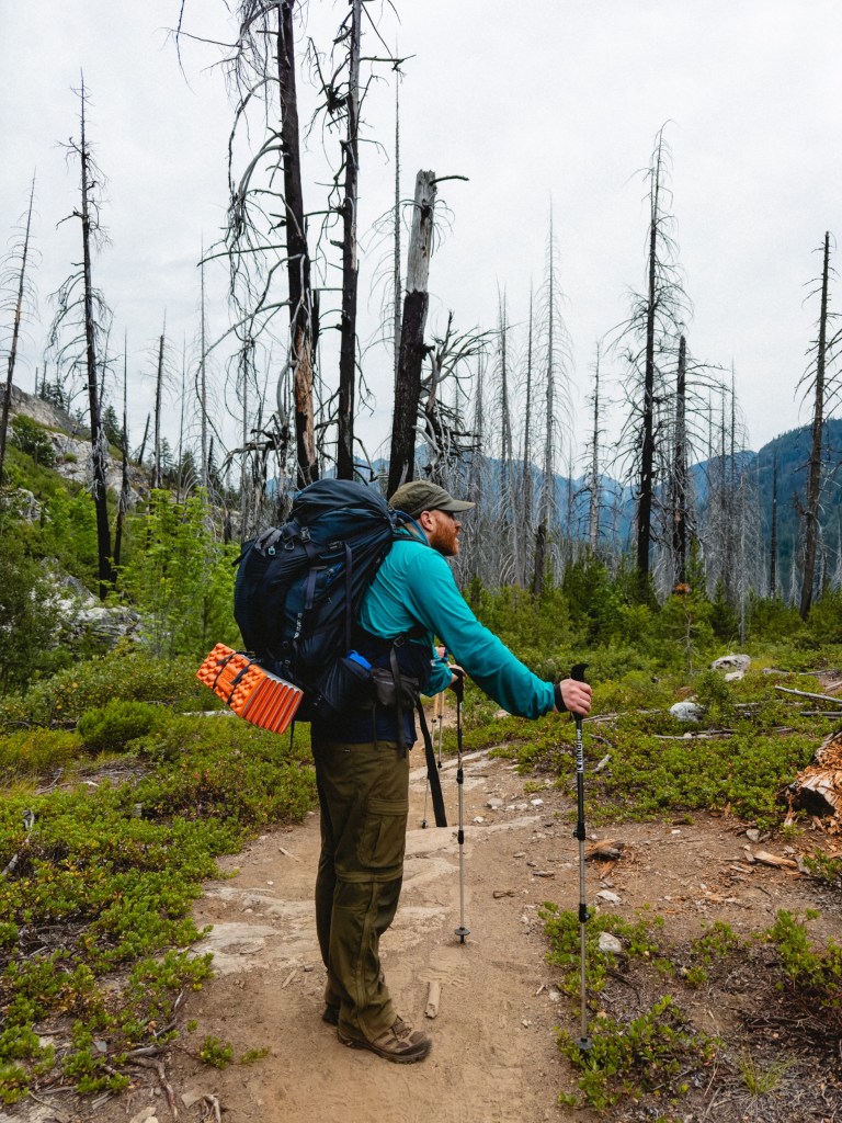
Day 1: Rainy Pass to Campsite
Day 2: Campsite to Six Mile Camp
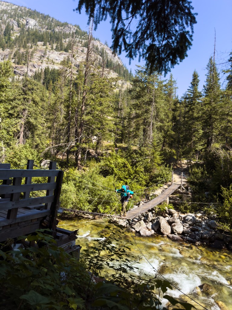
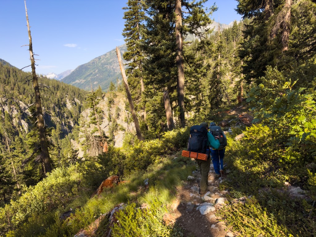
Day 3: Six Mile Camp to Bridge Creek Camp
Day 4: Bridge Creek Camp to Stehekin Shuttle
The official North Terminus of the Pacific Crest Trail is 30 miles North of Hart’s Pass, a largely inaccessible dirt road crossing at the northern border where Washington meets Canada. What that means is that in order to start at the “true” start, you have to hike 30 miles North on the PCT, touch the terminus, hike 30 miles back South to get back to where you started, then another 30 miles to Rainy Pass, which you could attempt to get a hitch-hike out of to get food. In other words: to start at the official start, you have to go 90 miles right from the moment you hit the trail.
Our delicate limbs are far too noodly for that. So instead, we decided to start at Rainy Pass and head South, as it’s only 20 miles until a trail town. We wanted to gently ease into hiking, rather that starting out kicking our butts. Our butts aren’t muscular enough for that yet. Try and bounce a quarter off of ‘em and your quarter would just plop dispiritedly to the ground. Also, Toasty, who works remotely, was only able to get a month off of work. After a month he is going to head out, get his Prius, bring it back West and be a trail angel while working remotely. So, when he comes back out, he’ll shuttle us back up to that section so we can snag it. #PriusLife
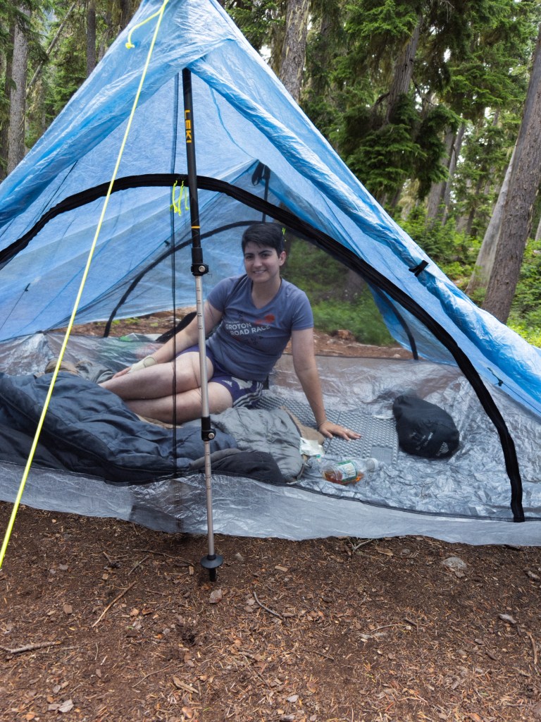
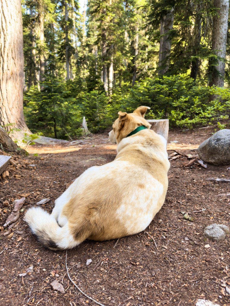
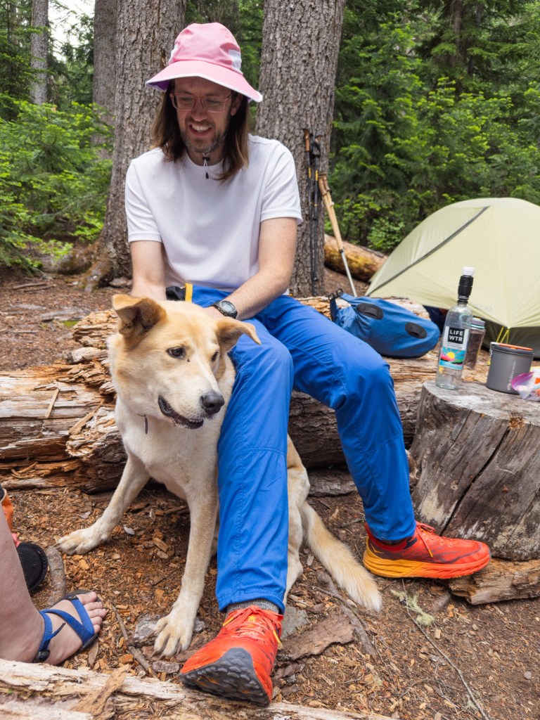
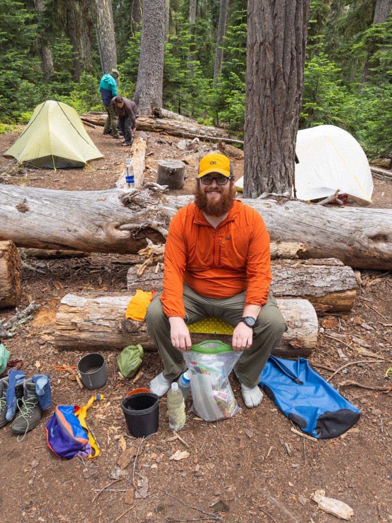
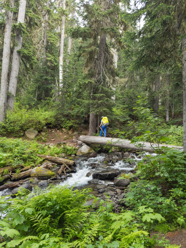
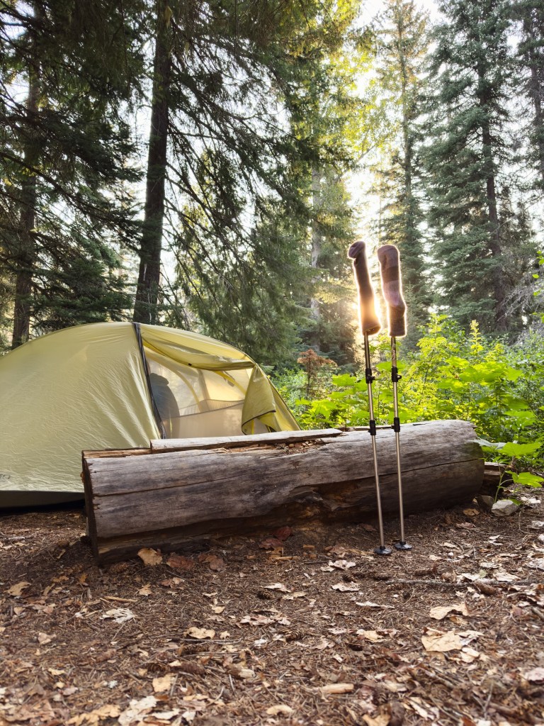
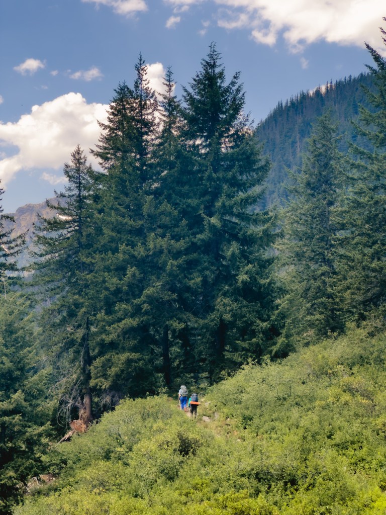
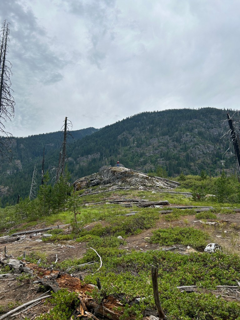
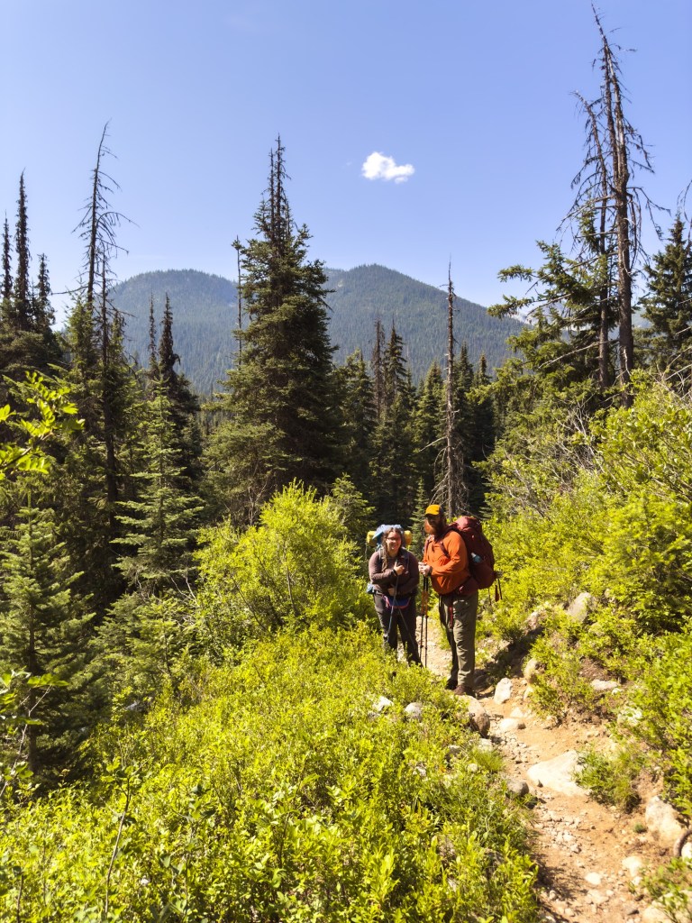
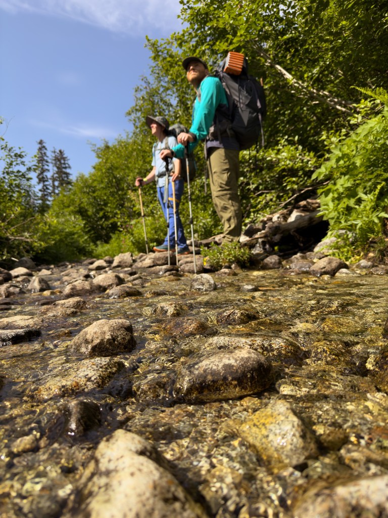
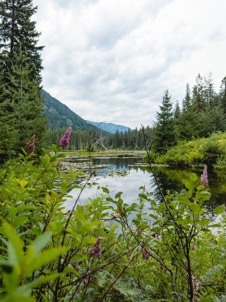
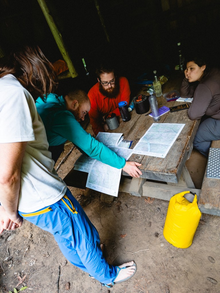
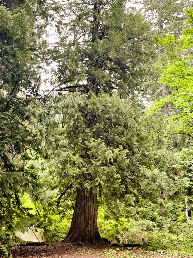
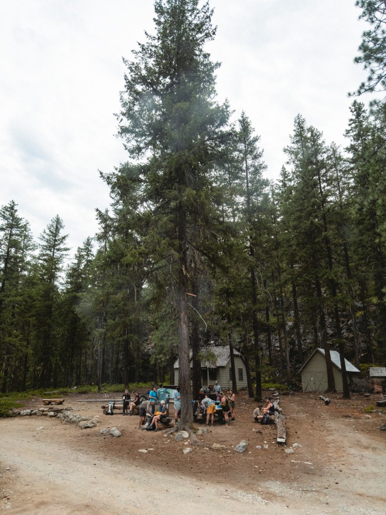
We met Whistle, her wife Salt, and their marvelous dog Kodak at Rainy Pass and had a day of hiking with them, before they headed back out to continue their road trip. Thus far we have gotten utterly spoiled with where we’ve camped. Each one of our campsites has been beautiful, next to some roaring gorgeous river, and has a bear box so we don’t have to worry about bear hangs. It’s been very bougie, if bougie included hoofin’ it through the wilderness and developing blisters in places you’d never expect blisters to be.
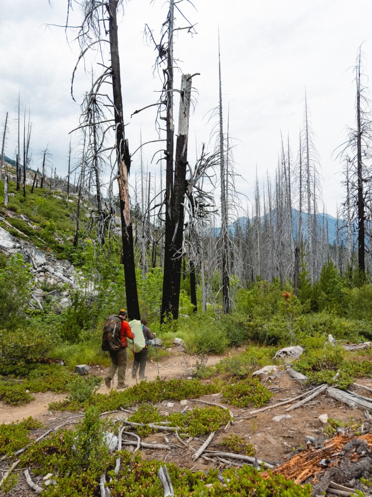
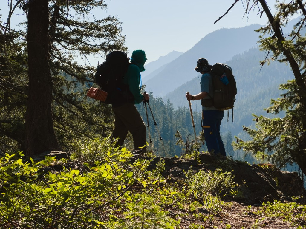
We’ve met several Snow-Bo hikers, folks who’d started out Northbound but got waylaid by snow in the Sierras, so they flipped up to Washington and are now hiking Southbound. That means we are getting steadily passed by folks who’ve already hiked 800 miles and have their trail legs. We feel a bit like trundling, roving moss-covered rocks in a river, folks flowing around us like water streaming downhill. Everyone has been very kind and fun, and all their legs look like tree trunks. We’ll get our legs eventually, and we’re happy motoring along until then. We also overlapped last night and today with a wonderful SoBo named Laura (hi Laura!) that we hope we will reconnect with soon!
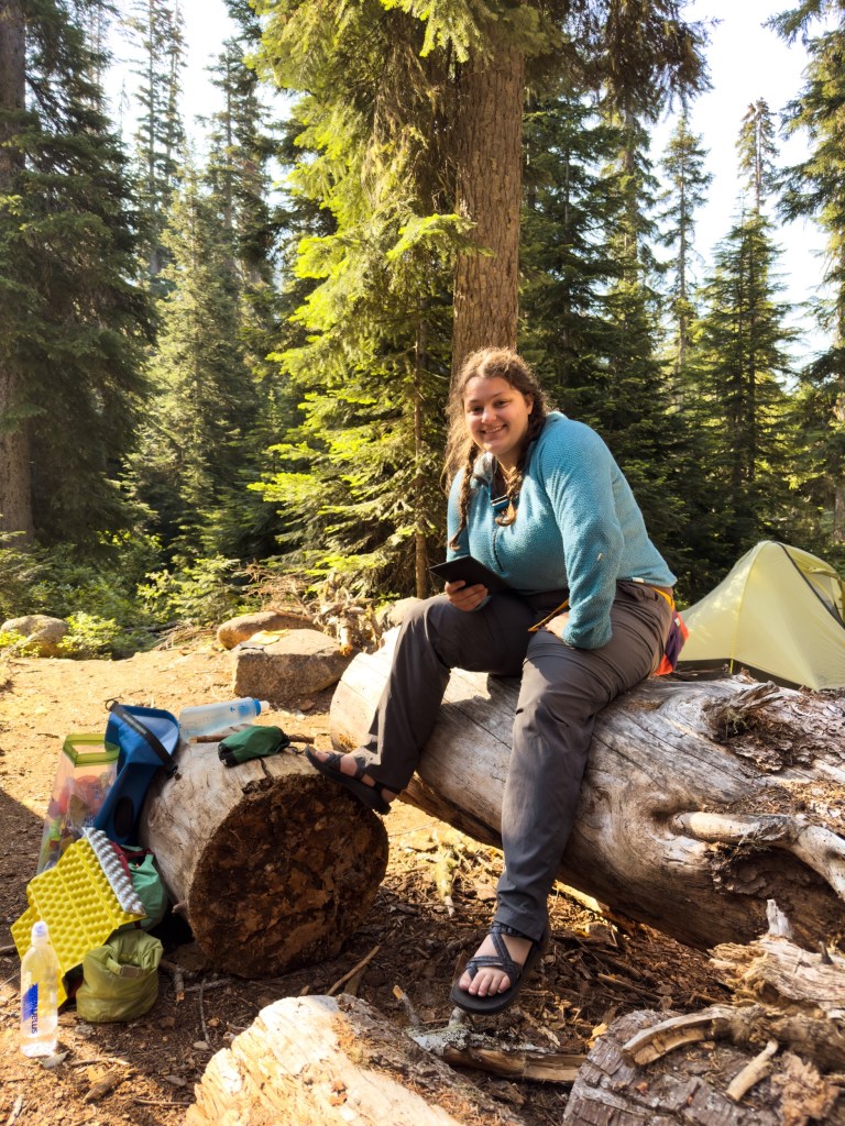
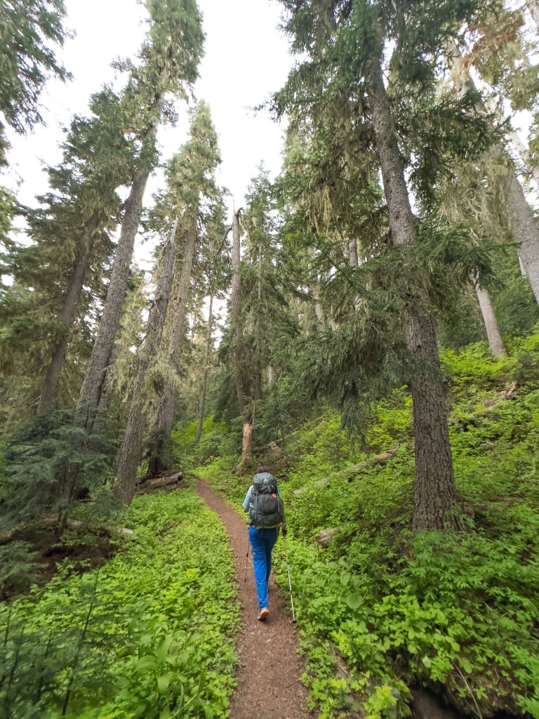
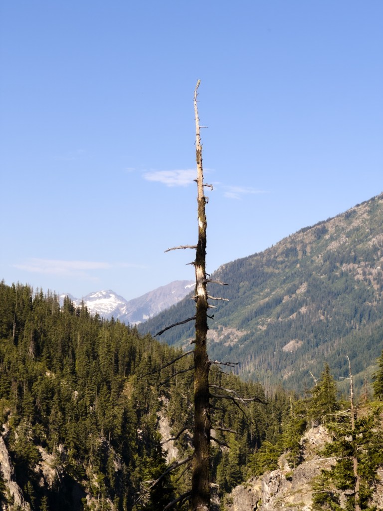
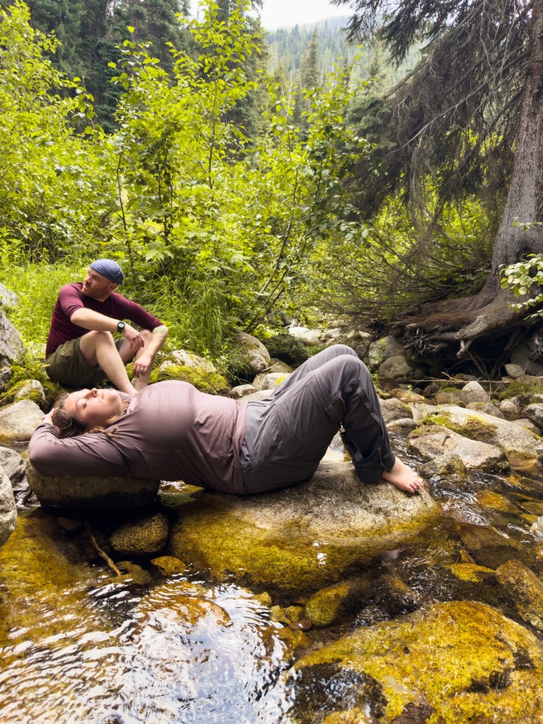
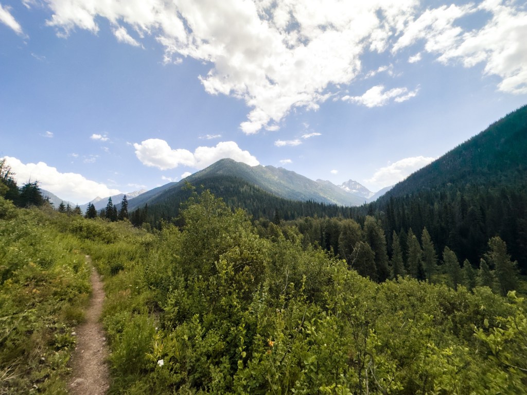
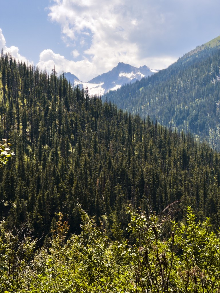
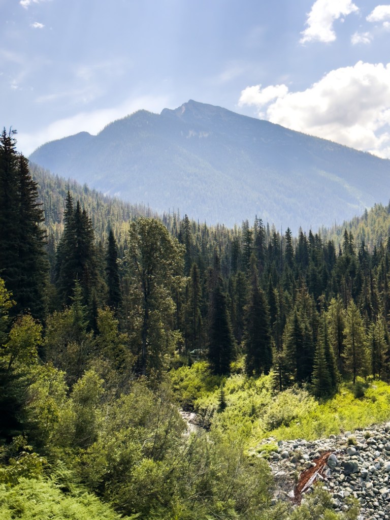
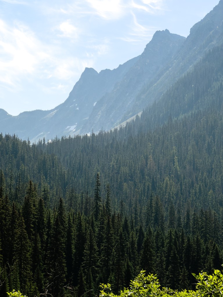
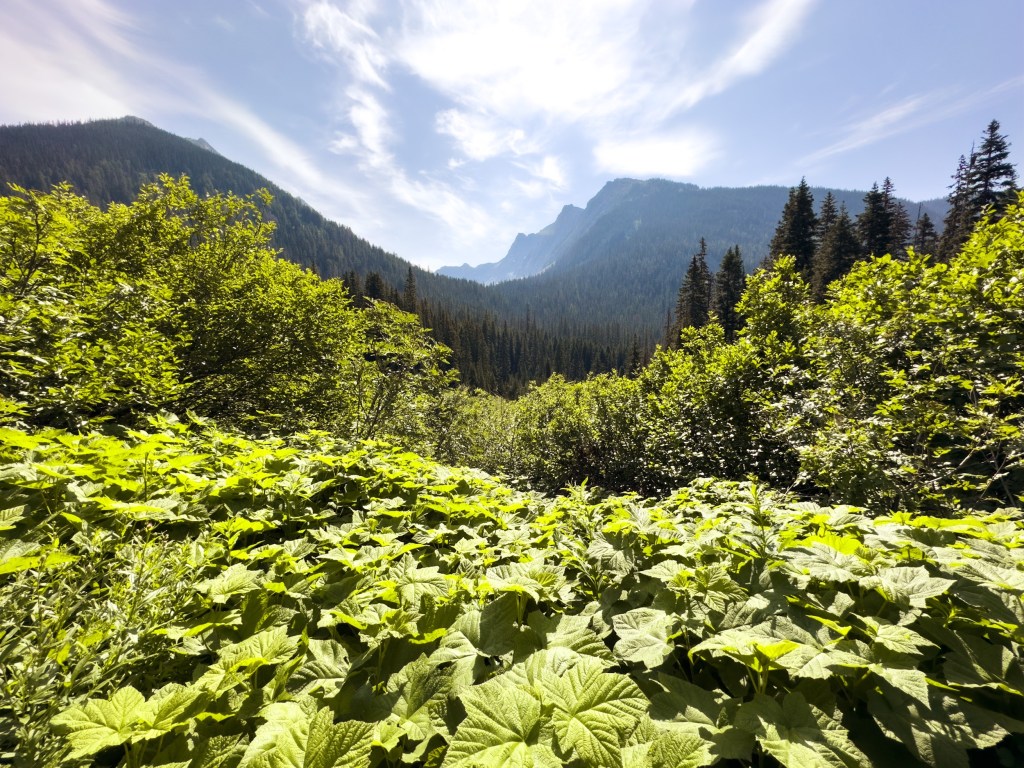
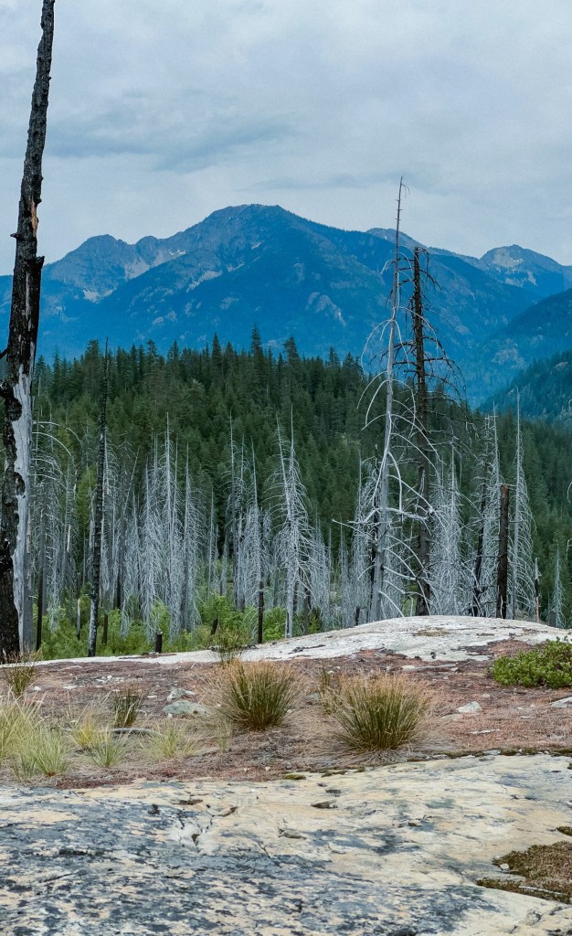
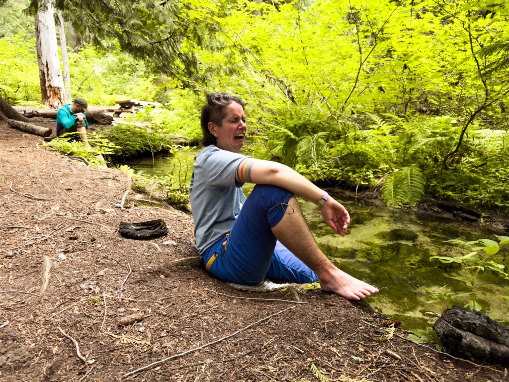
The landscape out here has caused me to be gobsmacked over and over again. Everything is just so big. Every corner I go around I find myself stunned into various exclamations of delighted cursing. I have loved being with our trail family every evening, making food together and taking naps. There was a whole 2 hours where Little Brother and I sat, icing our feet in the freezing river, catching flies and feeding them to baby brook trout.
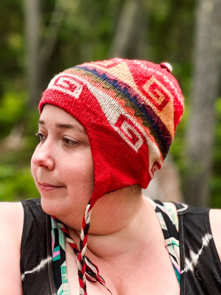
Our hiking partner, A, now has a trail name! She has a superpower of nearsightedness, which allows her to spot things like tiny fish, frogs, blueberries and snakes that no one else can see. Also, she has a pair of googly eyes on the outside of her backpack. So, her trail name is Scope! It also has the double meaning of “scope of practice,” as she is an EMT. She’s been keeping a tally of all the critters she’s seen, and trust me, it’s more than the rest of us combined.
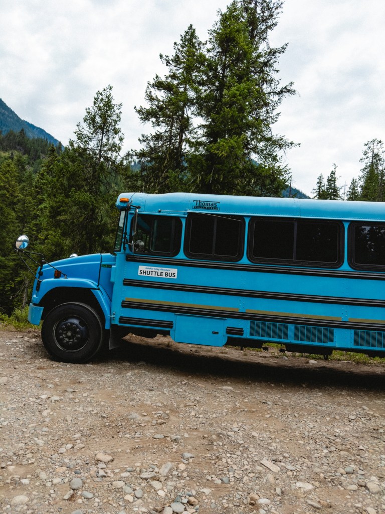
Around 3pm my brain starts what I call my Ramen Countdown Clock, when I am counting down the minutes until I can have my Shin Ramen (best Ramen ever) with peanut butter mixed in. It’s all I can think about. And now that I’ve mentioned it, I’ve accidentally started my Ramen Countdown Clock right now at 11:30am. We are currently waiting for a shuttle to take us into Stehekin, a small resort town on Lake Chelan where we had sent our resupply box. Leaving from Stehekin our next section is 110 miles until any bailout point, so we’ll be truly in it then.
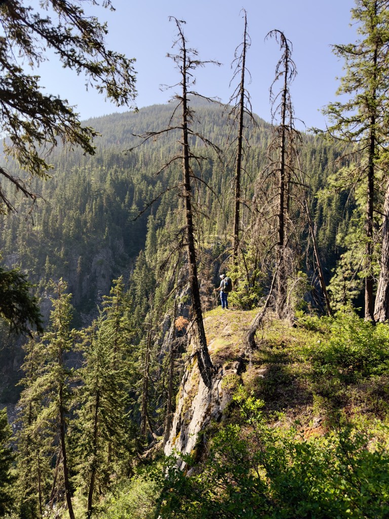
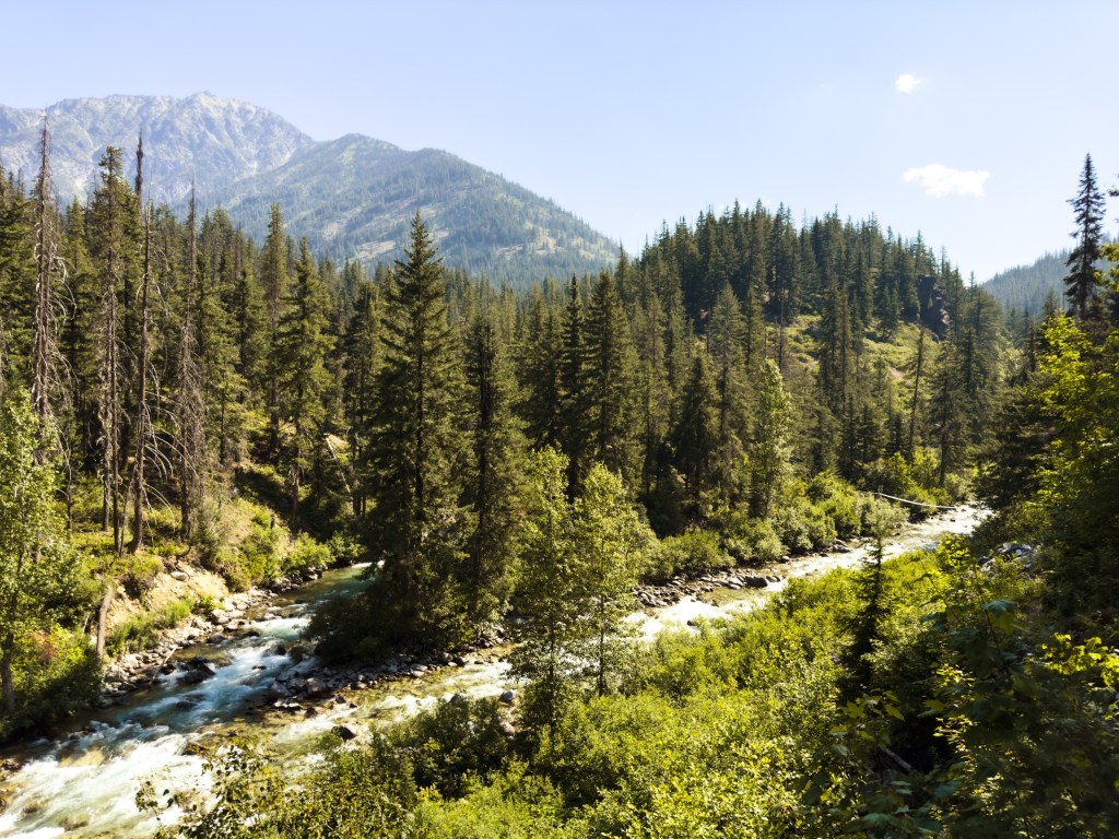
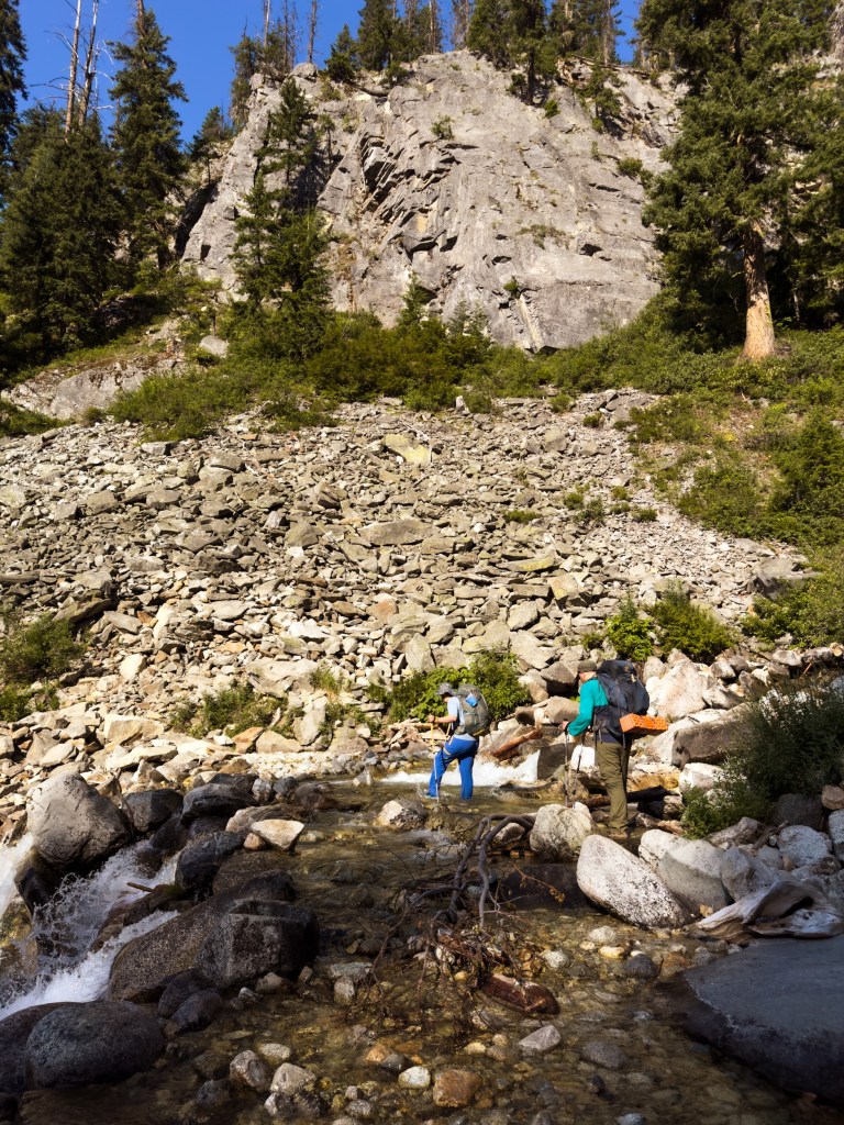
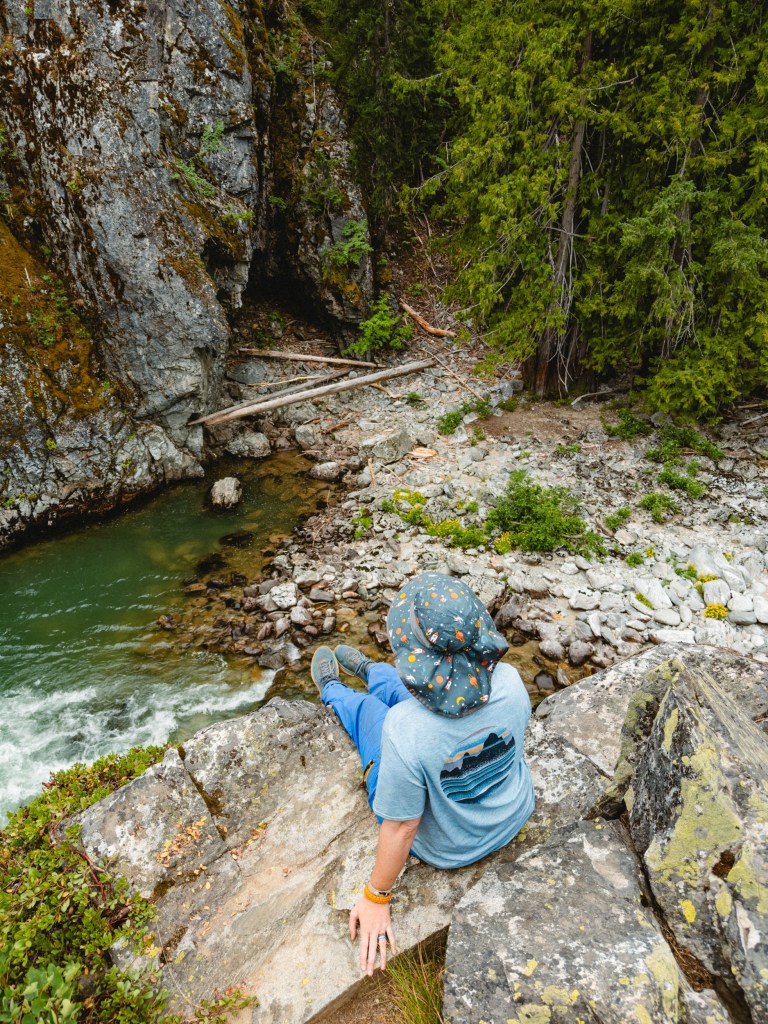
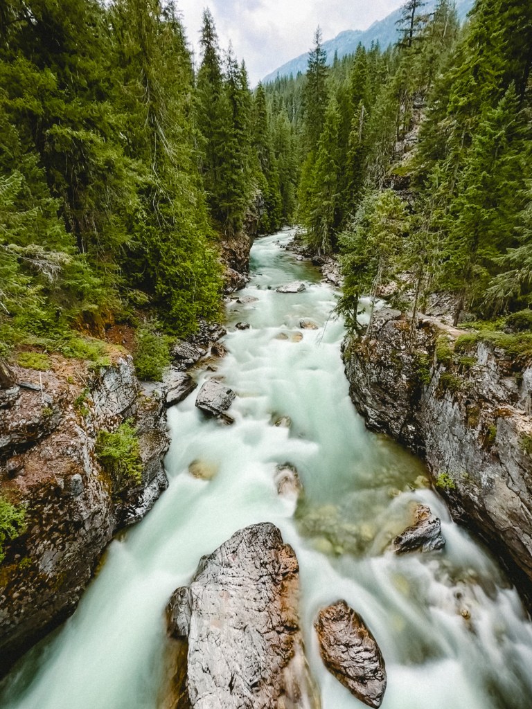
There was a moment on day 3, where we forded a gorgeous waterfall, came around a corner, and stepped out onto a cliff that overlooked the valley. My feet were soaked from crossing the waterfall, sweat was pouring down my face, and the sun felt like a hammer beating down on the ground. A gust of wind picked up and curled around me, ruffling the little parts of my clothing not somehow suctioned to my body with water or sweat. I turned around, looked at Toasty and Dumptruck and said, for the first time truly believing it,
“You know what? I think I’m going to hike the PCT.”
Love,
Thresher
P.S.
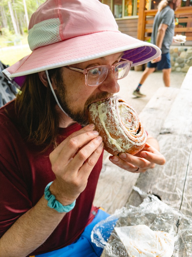
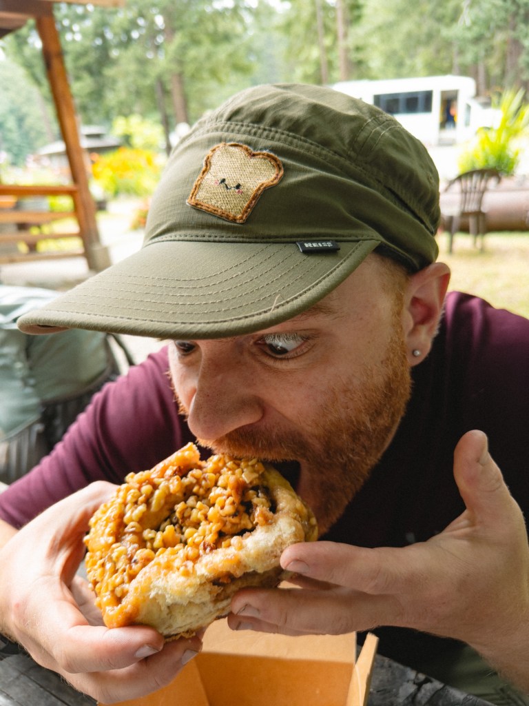
I’m updating this with 30 minutes of purchased satellite wifi from Stehekin – which, as it turns out, is not a town at all. It is an iiiitty bitty post office, teeny tiny general store, tiny restaurant, coin-operated laundry and coin-operated shower ($1 for 2.5 minutes!) on the side of a stunningly beautiful lake. There are a few tent sites that we were able to set up in! It is beautiful and surreal here, and is fun even though everything is set to lock/close at 6pm so we’re racing the clock with absolutely everything. If Dumptruck’s photos are grainy quality, just know that it’s because we’re currently doing the equivalent of tying little notes to a drunk carrier pigeon and sending them out into the great wide wilderness.


Leave a reply to dvdwls Cancel reply